
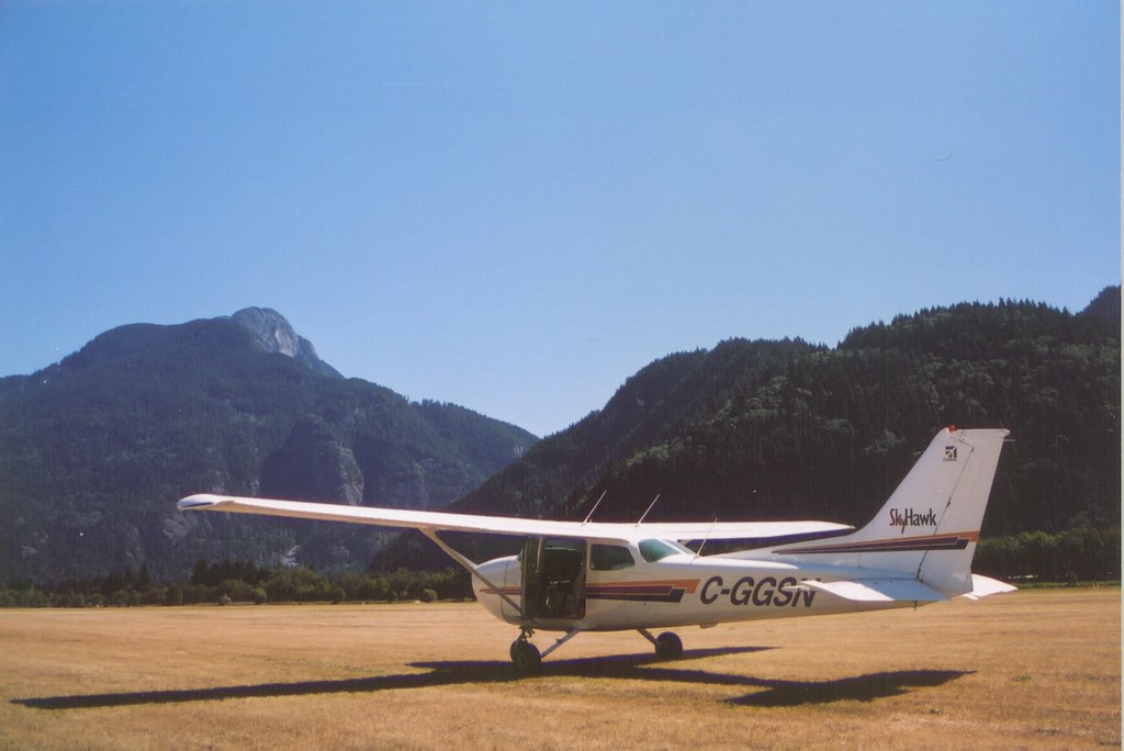
Ask a Kenyan student pilot where density altitude bites and almost every answer is the same: Nanyuki, Nyeri, anywhere near Mount Kenya, anywhere the field elevation already reads high on the altimeter.
That answer is not wrong. It is just badly incomplete, and the arid north is the field that proves it.
The Short Version
- Density altitude is a function of heat as much as elevation, and a hot low-lying aerodrome can produce the same thin-air performance loss as a cool high one.
- Wajir (757ft), Garissa (476ft) and Lodwar (1,715ft) are all well below Nairobi's altitude, and all three regularly see afternoon temperatures that push their density altitude thousands of feet above field elevation.
- Kenya Meteorological Department's own forecast for 15 to 19 August 2026, the week this article was written, puts Wajir and Garissa at up to 35°C, in a region that logged the country's highest daily maximum temperature of the year at Mandera in April.
- Wajir's unusually long runway hides the performance loss on paper. Garissa and Lodwar, with far less tarmac, do not have that luxury.
- The same arid strips add a featureless-terrain landing illusion, dust devils, and, at Lodwar, one of the strongest and most consistent wind corridors in East Africa.
The misconception that survives ground school intact
Density altitude gets taught, correctly, as pressure altitude corrected for non-standard temperature. Where it goes wrong is in how students file that lesson away.
The mental shortcut becomes "high airport equals thin air," which is true but only half the equation. Heat does the identical job that elevation does, and it does it at any altitude, including a strip that sits barely above sea level.
AOPA's own safety writing on this is blunt about the pattern: pilots who fly into what they assume are pleasant 70 or 80 degree conditions at a familiar elevation are frequently the ones caught out, because the temperature they read as comfortable is, aerodynamically, a killer (AOPA, "A stealthy killer"). A common misconception AOPA names directly is that high density altitude only happens at high elevations, when in fact heat alone thins the air at any elevation, including the ones nobody briefs for (AOPA, "Diabolical density altitude").
What heat actually does to a wing and a propeller
The physics is not complicated. Warm air is less dense than cool air, and a less dense air mass gives a wing less lift, a propeller less bite, and a piston engine less oxygen to burn per stroke.
The FAA's own density altitude pamphlet puts a number on how severe that loss can get. A takeoff that needs 1,000 feet of runway to climb through 50 feet under standard conditions can need 3,300 feet under high density altitude conditions, more than triple, and climb rate in the same example drops by 76 percent (FAA-P-8740-2, Density Altitude).
That is not a mountain-flying statistic. It is what happens to any piston single, anywhere, once density altitude climbs far enough above field elevation.
Doing the actual math for Wajir, Garissa and Lodwar
Pilots use a well-known rule of thumb to estimate density altitude without a flight computer: pressure altitude plus 120 feet for every degree Celsius the outside air runs above the ISA standard temperature for that altitude, where standard temperature falls by roughly 2°C per 1,000 feet (AOPA, Density Altitude). Treating field elevation as a stand-in for pressure altitude is a fair approximation at these fields, since QNH in this part of Kenya rarely deviates far from standard.
Run that formula against real numbers. Wajir sits at 757ft, where standard temperature is about 13.5°C, and Kenya Meteorological Department's forecast for 15 to 19 August 2026, this week, puts it at up to 35°C.
That 21.5°C deviation works out to a density altitude of roughly 3,340ft, nearly 2,600ft above the field itself (Kenya Met via The Kenya Times).
Garissa, at 476ft field elevation with standard temperature around 14°C, hits the same 35°C forecast high and lands close to 2,990ft of density altitude, roughly 2,500ft above field elevation (Garissa Airport, Wikipedia). Both numbers sit inside the same performance-robbing band the FAA pamphlet describes, generated entirely by heat at aerodromes most students would never think to call "high."
The northeastern counties were not an isolated event either. Kenya Meteorological Department data reported earlier in 2026 recorded Mandera's own station logging the country's highest daily maximum temperature that year, 37.6°C, on 3 April (KBC Digital, on Kenya Met's temperature records).
Run the same 120-per-degree rule against a Mandera-style afternoon in that range and the density altitude figure moves comfortably past 4,500ft, on a strip a few hundred feet above the sea.
Why Wajir hides the problem and Garissa cannot
Here is the detail that actually changes how dangerous this is in practice. Wajir has one of the longer runways in Kenya's aerodrome network, an asphalt strip stretching close to 2,800 metres, built for the Kenya Air Force and only commissioned for civilian use in 2007 (Wajir Airport, Wikipedia).
A student running a takeoff distance calculation against that much tarmac sees enormous margin even after tripling the required roll, and margin that large does not feel like a warning. Climb gradient after liftoff degrades exactly the same amount regardless of runway length, and that is the part the long runway cannot paper over.
Garissa is a different story. The strip reopened in 2026 after a year-long rehabilitation that extended it from roughly 1,200 metres to about 1,280 metres, still a fraction of Wajir's length (Hiiraan Online, on the Garissa reopening).
At that length, a 2,500 to 3,000ft density altitude penalty on a fully loaded C172 or PA-28 is not an academic exercise. It is the actual margin between a normal takeoff and a tight one.
Lodwar is tighter again: a single 1,000 metre asphalt strip at 1,715ft field elevation, the least runway of the three and the highest starting point for the density altitude calculation (Lodwar Airport, Wikipedia).
The illusion that meets you on short final
Performance is only half of what the arid north does to a pilot. The other half shows up on landing, in the form of a visual trap the FAA's Aeronautical Information Manual names directly.
An absence of ground features, of the kind desert and semi-arid terrain provides in abundance, creates the illusion that the aircraft is higher than it actually is, and the natural reaction is to fly a lower approach than the one you intended (FAA AIM 8-1-5, Illusions in Flight). The same AIM material describes desert terrain glare, the excessive reflected light off open sand and scrub that produces genuine squinting, watery eyes, and momentary loss of clear vision on approach (FAA AIM 8-1-6).
Neither illusion cares whether you are flying VFR or IFR. Both are corrected the same way: fly the numbers on the instruments and any available visual glidepath aid rather than the picture your eyes are giving you over featureless ground.
Dust devils: the turbulence nobody briefs
Hot ground and still air are exactly the conditions that spin up dust devils, and northern Kenya's arid terrain produces both in abundance through the middle of the day. The NTSB takes the hazard seriously enough to have issued a dedicated safety alert on it, noting that dust devils have featured in more than 170 accidents the Board has investigated since 1982 (NTSB Safety Alert SA-088, Dust Devils: Silent Sky Snares).
A dust devil can extend from ground level up past 1,000 feet, sometimes considerably higher, well into the altitude band a light aircraft occupies on a low circuit or a short-field departure. It can also be entirely invisible when it is not lofting dust, which is precisely why the NTSB's advice is to expect them on hot, calm mornings and afternoons at exposed strips rather than to rely on seeing one coming.
Lodwar's other hazard: the strongest wind corridor in the region
Lodwar sits inside the Turkana corridor, the low-level wind channel squeezed between the Ethiopian and Kenyan highlands that the Lake Turkana Wind Power project was built to exploit. The corridor carries a strong, remarkably consistent wind, averaging around 11 metres per second, driven by what meteorologists call the Turkana jet accelerating through the natural funnel between Mount Kulal and the Nyiru range (Lake Turkana Wind Power Station, Wikipedia; Turkana jet, Wikipedia).
A wind resource strong and steady enough to make Africa's largest wind farm viable is not a gentle breeze on approach. Crosswind and mechanical turbulence around Lodwar deserve the same specific pre-flight attention as the density altitude figure, not an afterthought once you are established on final.
The opinion part
Here is the thing worth saying plainly. Kenyan cross-country briefings for the north tend to spend their time on fuel, on the sparse diversion options, and on the distance itself, which are all real concerns.
What they routinely skip is density altitude, because "it's low elevation" has become shorthand for "it's fine," and that shorthand is wrong every single hot afternoon in Wajir, Garissa or Lodwar. A CFI (Certified Flight Instructor) who briefs a highland cross-country on density altitude and a northern one without it is applying the lesson to the wrong half of the syllabus.
What to actually do before you fly north
None of this demands new equipment or a different aircraft. It demands treating the arid aerodromes with the same performance discipline a highland strip already gets.
- Calculate density altitude for your actual departure time, not for the forecast morning low. An 11am or noon departure at 33 to 35°C is a routine occurrence at these fields in the dry season.
- Check climb performance, not just takeoff roll. A long runway like Wajir's hides the roll problem completely. It does nothing for your climb gradient over the first obstacle.
- Plan the early morning slot when weight and distance are tight, the same discipline already applied at highland strips, because cooler air buys back real performance at these fields too.
- Brief the featureless-terrain illusion before the approach, not during it. Fly the altitude on the instruments and any visual glidepath aid rather than the picture over open scrub.
- Expect dust devils on hot, calm middays and treat an unexplained bump on a clear day near these strips as exactly that, not a mechanical concern with the aircraft.
- Respect the Turkana corridor specifically at Lodwar, and check current wind before committing to that approach.
Frequently asked questions
Can a low-elevation aerodrome really have dangerous density altitude?
Yes. Density altitude is driven by temperature as much as by elevation, and a hot afternoon at a low field can produce the same air density loss as a much higher one on a cooler day.
Why does Wajir's long runway not solve this?
It solves the takeoff roll problem by giving huge distance margin, but it does not change climb gradient after liftoff, which degrades by the same amount regardless of how much runway is behind you.
Does the density altitude problem only affect takeoff?
No. Reduced air density affects lift and engine power throughout the flight, including the climb after departure and the go-around margin on approach, not just the ground roll.
What is the Turkana corridor and why does it matter at Lodwar?
It is a strong, persistent low-level wind channel between the Ethiopian and Kenyan highlands, strong enough to power Africa's largest wind farm, and it produces real crosswind and mechanical turbulence considerations for aircraft operating at Lodwar.
Key Takeaways
- Density altitude is a heat problem as much as an elevation problem, and Wajir, Garissa and Lodwar all prove it on an ordinary hot-season afternoon.
- Kenya Met's own August 2026 forecast puts Wajir and Garissa at up to 35°C, pushing density altitude thousands of feet above field elevation using the standard rule-of-thumb calculation.
- Wajir's unusually long runway masks the takeoff-roll penalty but does nothing for degraded climb gradient. Garissa and Lodwar have far less runway margin to hide behind.
- The arid north adds a featureless-terrain landing illusion, desert glare, dust devils documented in over 170 NTSB-investigated accidents, and, at Lodwar, one of the strongest wind corridors in the region.
- Brief density altitude for northern routes with the same discipline already applied to highland ones. "Low elevation" is not the same thing as "cool air."
AngaBrief's aerodrome data for Wajir, Garissa and Lodwar carries the runway and elevation figures a pilot needs to run this calculation before departure. The tool surfaces the numbers, nothing more.
It is not a dispatch authority, and the go or no-go decision on a hot northern afternoon stays with the Pilot in Command and their instructor.